
Reclaiming the 'Unreachable': Using Agricultural Drones for Steep Slopes and Remote Terrain
In the UK, some of our most productive and ecologically significant land is also the most difficult to manage. From the rolling hills of the Peak District to the steep valleys of the Welsh borders and the rugged Highlands, traditional hill farming has always been a battle against gravity. When the gradient becomes too steep for a tractor and too vast for a manual crew, land is often left under-managed or reclaimed by invasive species.
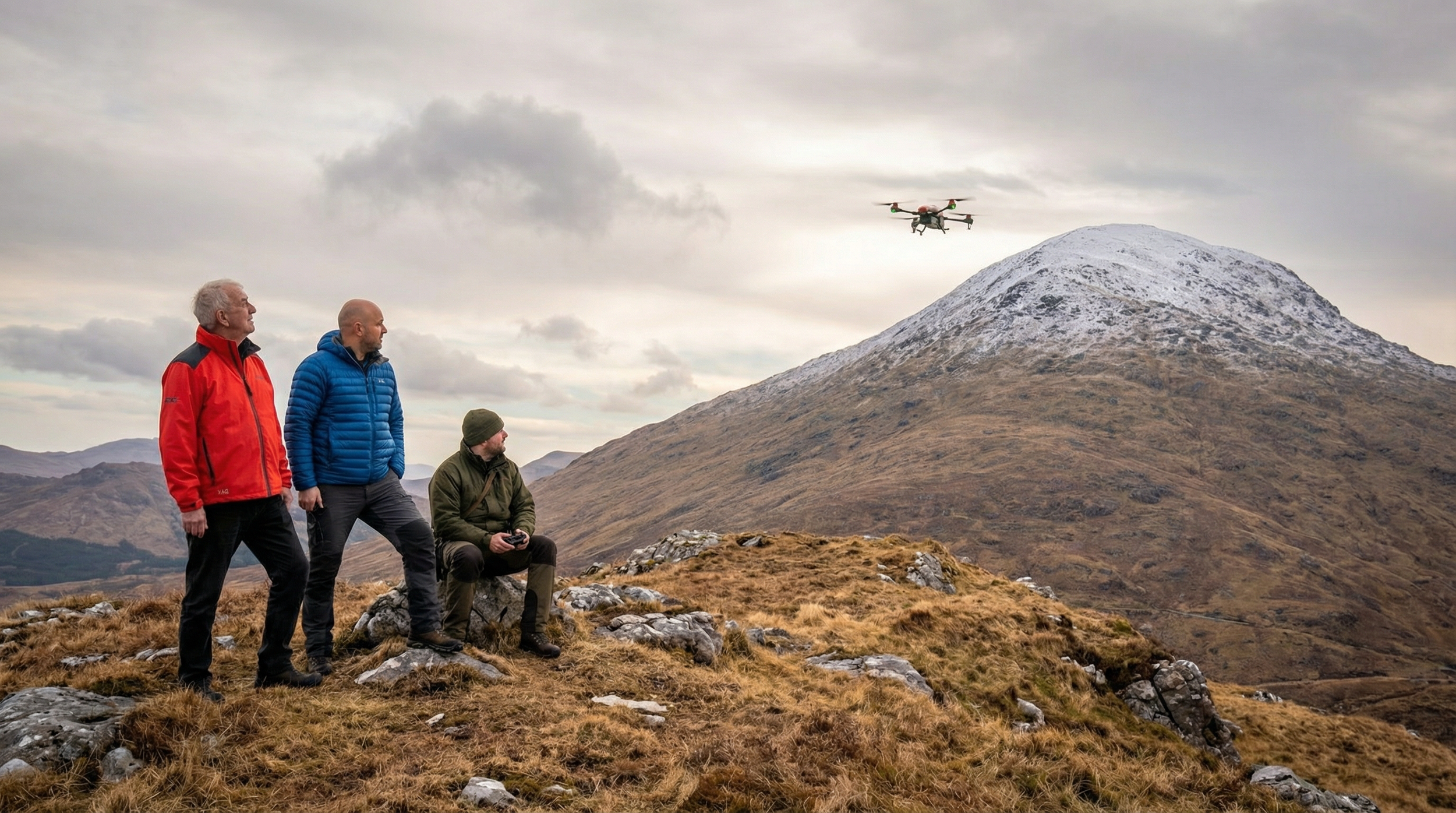
The arrival of the agricultural drone is redrawing the map for these challenging landscapes. At Quadrotor, we are seeing the agri drone move from a "high-tech luxury" to a vital tool for reclaiming land previously considered unreachable.
Why is traditional machinery dangerous on steep slopes?
Operating heavy machinery on steep gradients is one of the most hazardous tasks in British agriculture. Standard tractors and ATVs face two primary risks:
Lateral Overturning: This occurs when a vehicle’s centre of gravity shifts beyond its stability base, often triggered by uneven ground or a sudden turn on a slope.
Stability Fluctuations: Adding an implement, such as a sprayer or spreader, dramatically changes a tractor's weight distribution, increasing the risk of rollover if gradient of vehicle is around 15-20 degrees.
An agricultural drone removes the operator from the hazard entirely, allowing them to control the application from a safe, level vantage point.
How do drones maintain precision on hilly terrain?
The greatest challenge of treating a hill isn't just flying; it is maintaining a consistent distance from the ground to ensure uniform coverage. If a drone flies too high, the product drifts; too low, and it risks a collision.
Modern agri drones like the XAG P100 Pro overcome this through advanced sensors:
Terrain-Following Radar: Using 4D imaging radar, the drone can detect changes in elevation in real time and automatically adjust its altitude to maintain a constant height above the crop canopy.
Gradient Navigation: These systems can navigate gradients of up to 45° with ease.
Obstacle Avoidance: Integrated radar systems detect major obstacles such as lone trees or rock faces and autonomously adjusts its flight path.
Centimetre-Level Accuracy: By using RTK positioning, the drone follows a digital "flight corridor" with precision, ensuring that even the narrowest terrace or remote plot is treated uniformly.
Protecting Fragile Upland Soils
Upland and remote soils are often the most fragile. Traditional tyres on a slope can cause "scuffing" and compaction, leading to surface runoff and erosion. Because the agricultural drone is entirely non-invasive, it preserves the soil structure and prevents the formation of gullies, helping farmers meet modern UK environmental standards. By taking to the air, Quadrotor is helping farmers turn "dead ground" back into productive, healthy land.